
Westfield ZIP Coverage
The research confirms one current Westfield postal-office anchor: 07090. It does not establish a ZIP-wide resident roll or an official boundary screen for every local parcel. A separate 07091 reference appears in USPS processing material, but it needs address-specific confirmation before it is treated as a delivery result. Nearby ZIPs are useful comparison points, not substitute Westfield labels.
| Postal label | Postal context | Post office or locality | Westfield handling |
|---|---|---|---|
| 07090 | Confirmed current office/address anchor | Westfield Post Office, 153 Central Ave, 07090-9998 | Verified Westfield anchor |
| 07091 | USPS FAST processing/label grouping | Westfield grouping, no parcel-level confirmation | Check a specific address |
| 07092 | Nearby comparison ZIP | Mountainside | Not automatically Westfield |
| 07027 | Nearby comparison ZIP | Garwood | Not automatically Westfield |
| 07023 | Nearby comparison ZIP | Fanwood | Not automatically Westfield |
| 07076 | Nearby comparison ZIP | Scotch Plains | Not automatically Westfield |
| 07901 | Nearby comparison ZIP | Summit | Not automatically Westfield |
A postal city, municipality, ward, and parcel can be related without being the same geographic label. Keep each one in the research notes.
Westfield ZIP Postal Anchor
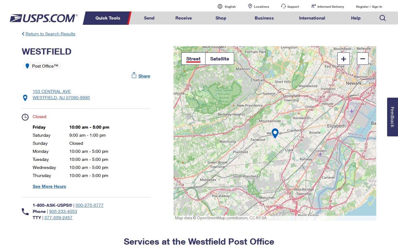
The current USPS location entry identifies the Westfield Post Office at 153 Central Avenue with 07090-9998. This is the strongest confirmed postal anchor in the source set. It confirms the office and its listed postal designation. It does not prove that every address associated with Westfield uses the same delivery designation, and it does not draw a municipal boundary.
The USPS Westfield Post Office location provides the current official anchor.
Use the office listing to date the postal reference, then confirm a particular address with an address-specific USPS result.
Westfield ZIP FAST Clue
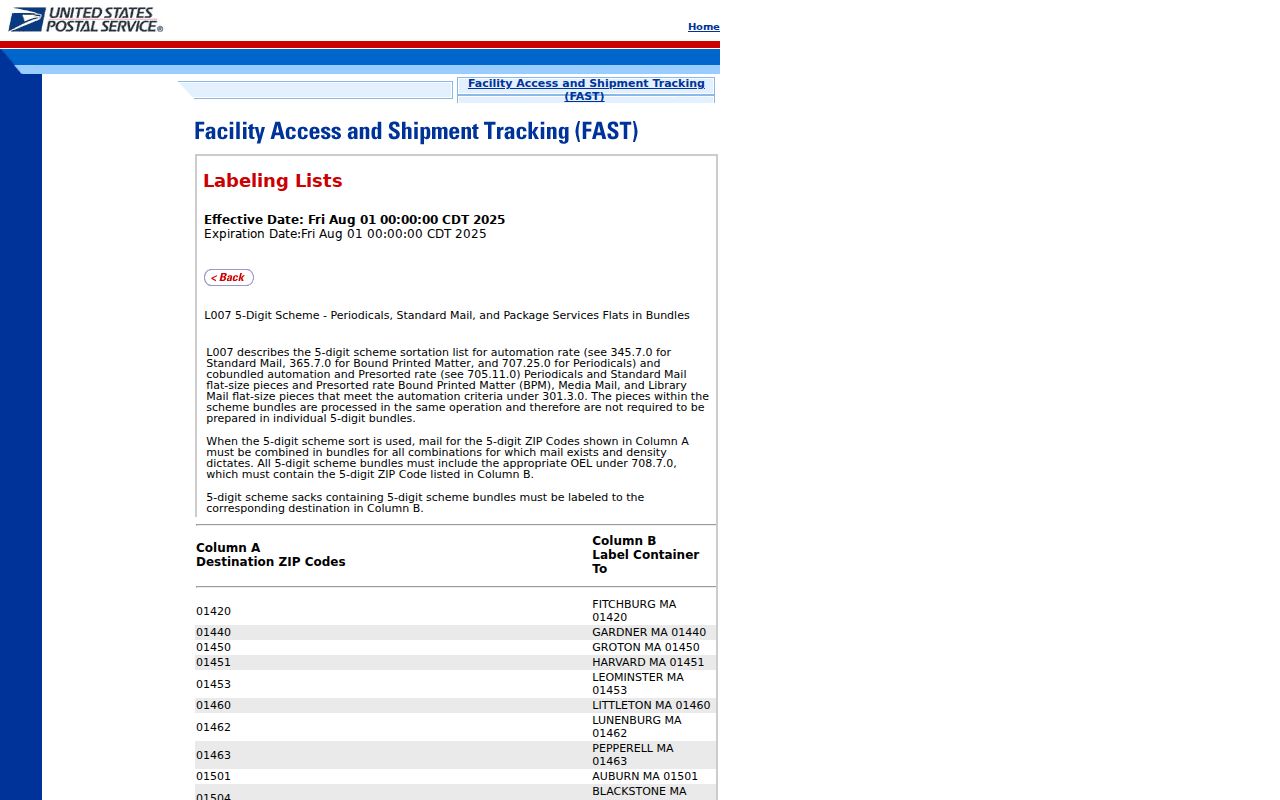
USPS FAST labeling material groups 07090 and 07091 with Westfield. That material describes a mail-processing or labeling arrangement, not an authoritative parcel-delivery boundary. It is useful when an old record or label shows 07091, because it signals a possible Westfield connection. It is not enough to assign 07091 to a parcel without checking the full address.
The USPS FAST labeling list is the source of the 07090-07091 grouping.
Record this as a processing clue and preserve the source date instead of converting it into a broad delivery claim.
Reconcile a Westfield ZIP
No official ZIP-wide resident search or official ZIP-boundary screen was found for Westfield. The useful workflow is therefore address reconciliation. Start with the ZIP printed in a source, confirm the current delivery result, and then move through municipal and parcel records. A ZIP can narrow a question, but it cannot replace a street address, map sheet, or legal description.
- Copy the address exactly, including number, street, unit, locality, ZIP, county, source year, and any ward or block/lot already shown.
- Confirm the present postal result through USPS and retain a historical ZIP as printed rather than silently replacing it.
- Use the Westfield street index and maps to normalize spelling and locate the appropriate tax-map context.
- Check the assessor or NJ Property Explorer for parcel and block/lot context, then compare the Union County deed index legal description.
- When one ZIP leads to several streets, use the detailed Westfield street directory workflow rather than treating the postal label as a street-level result.
For an old address without a ZIP, a directory street section, cross streets, Sanborn sheet, tax map, and deed description can restore place before any modern postal comparison is made.
Westfield ZIP Search Fields
NJ Property Explorer is useful after a ZIP has been reconciled to an address. The documented state schema does not include a ZIP-code field. It searches by address, county, municipality, and block/lot, while its described results include location/owner, block/lot, annual assessed land and building values, prior-year taxes, and property class. Do not present it as a ZIP-wide search tool.
| Property Explorer field | Field type | Role after ZIP confirmation | Documented result context |
|---|---|---|---|
| Address | Address search dimension | Checks the full reconciled street address | Location and owner context |
| County | Geographic search dimension | Select Union County | Annual assessment-list context |
| Municipality | Geographic search dimension | Use Westfield | Property class and assessment data |
| Block/Lot | Parcel search dimension | Checks the tax-map parcel | Block/lot, land, and building assessment data |
The annual assessment list is filed in January. A transfer recorded later can be absent until a later assessment cycle.
The Westfield Assessor, municipal Property Information route, tax maps, and SDL parcel route are the local channels for this part of an address check. NJ Property Explorer is the statewide comparison channel. The Union County Clerk supplies the separate legal-instrument channel through its online index, public Record Room, and copy-request route. Each source should be searched with the same normalized street and block/lot rather than a postal label alone.
Where a local property screen has an account requirement or its field list is not publicly documented, record only the categories that the Town identifies. The verified municipal categories are building permits, FEMA/NFHL information, last sale price, net assessed value, and property class. These parcel details can assist reconciliation, but they do not create a ZIP-wide name search.
Westfield ZIP Map Checks
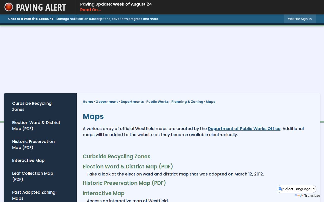
Westfield's map resources are the municipal side of a postal match. The street index includes streets, ward numbers, schools, government sites, and places of worship. The Town also links ward, zoning, topography, sewer, tax, and interactive maps. Use them to normalize a street and to identify cross streets, not to declare a ZIP boundary that the maps do not document.
The Westfield official maps and street index provide the local map entry point.
A tax-map sheet and block/lot give a more durable municipal reference than a postal locality name alone.
For a difficult address, maintain separate columns for the address as printed, the street-section cross streets, assessor situs, tax-map block/lot, deed legal description, Sanborn sheet, postal locality, ward, and source date. This preserves the record trail instead of forcing one modern label onto older evidence. It also makes a later correction possible when a street number, locality, or delivery designation has changed.
Westfield ZIP Boundary Mismatches
Postal geography and municipal geography serve different purposes. The sources do not provide a verified municipal-wide delivery-boundary screen, so do not guess at edge parcels. NJGIN also cautions that county-edge parcels may not be edge matched. An edge mismatch should be noted and checked against the street index, assessor or GIS parcel, tax map, and deed legal description.
The safest record trail has three administrative vocabularies: assessor situs, postal address, and deed legal description. Preserve disagreements and source dates. A historical locality or ZIP should remain in its own dated field even when a current address lookup produces another form.
- ZIP
- A postal routing label used to sort and deliver mail. It is not a municipal boundary.
- ZIP+4
- An added four-digit postal detail used with a base ZIP code for more specific delivery routing.
- PO box ZIP
- A postal designation associated with post-office boxes; it should not be assumed to describe a street-delivery area.
- Carrier route
- A postal delivery grouping used for mail handling, not a parcel ownership or city-limit record.
Westfield ZIP Historic Clues
Older Westfield records may predate ZIP codes altogether. The 1977 directory identifies area code 201, but that is not a ZIP-boundary authority. Earlier volumes can give only a street and cross streets. In those cases, the Westfield directory street section, municipal tax maps, and the dated 1886 through 1928 Sanborn map series provide a better location bridge than a modern postal conversion.
The 1977 directory also includes Westfield and neighboring municipalities, including Cranford, Garwood, Kenilworth, and Mountainside. A name found there needs its municipality and section confirmed before it is assigned to Westfield. This is a useful false-positive check when a postal label appears close to a municipal edge.
There is no verified town-wide renumbering or renaming schedule in the sources reviewed. If an old street number does not match a current parcel, compare the directory's sequence and cross streets with a tax map, Sanborn footprint, and deed legal description. Do not conclude that two numbers identify the same place until the parcel evidence supports it. Westfield's early directory and map material is most useful when each layer retains its own year.
Note: A ZIP or locality in a historic source is evidence of that source's date, not a guarantee of current delivery or municipal status.
Westfield ZIP Privacy Limits
A ZIP code is not a safe shortcut to a person or a household. No ZIP-wide resident search was identified in the official Westfield material, and the available parcel sources do not make a complete current roster. An owner, mailing addressee, historical directory entry, and current occupant may all differ.
Daniel's Law can redact protected owner or address details in hosted parcel, tax, and map resources. If a record is redacted, leave it redacted. Do not combine records to reconstruct a protected location. Use a dated postal or parcel source only for a lawful, specific research question.
Lawful use. Use Westfield postal records for personal, lawful research and civic or family-history questions. Do not use a record to stalk, harass, intimidate, or harm any person.
Current postal and parcel systems change over time. A verified address result should be kept with its access date, while a historical entry should retain the date printed in its original source. That simple separation helps avoid converting an old mail label into a present-location claim.