
Westfield Previous Residents by Era
One Westfield address can cross several record systems. Begin with the most recent parcel reference, then use the Union County Clerk's land records to reach the legal chain. The online index begins June 1, 1977, while the County Clerk's Record Room holds county land records from 1857 to the present. Earlier research moves through the library, the State Archives, and predecessor Essex County material. The right source depends on the target period, not on the convenience of the web search.
| Source | Years it covers | Where held | What it shows |
|---|---|---|---|
| Union County land-record index | June 1, 1977 to the displayed current endpoint | Union County Clerk online | Grantor, grantee, instrument, date, book/page, and image indicator |
| County Clerk Record Room | 1857-present | Union County Clerk | Older land instruments and office access beyond the online start |
| Westfield city directories | 1885-1982 headline, with gaps | Library / DigiFind-It | Dated household and street-section clues |
| State Archives Westfield Township tax ratables | 1781, 1796, 1810-1822 | New Jersey State Archives guide | Taxable names, property or tax context, and jurisdictional continuity |
| County deed and surrogate microfilm | Through 1900 | New Jersey State Archives pathways | Earlier county land and estate research routes |
| Westfield Sanborn maps | 1886, 1891, 1896, 1901, 1909, 1916, 1921, 1928 | Princeton guide / library microfilm | Building footprint, use, and street context |
A deed party, a directory name, and a tax-ratable entry describe different relationships at different dates. Keep them in separate columns in a research log. The combination can build a careful address history, while one item alone may identify only a transaction, a printed listing, or a tax connection.
Begin a name-based land check with the Union County land-record name search.
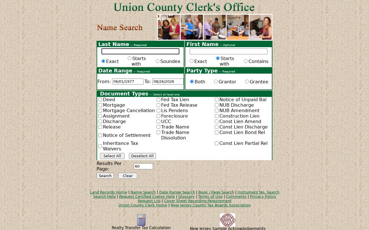
The name-search screen is a starting point for a dated land record, not evidence that every matching party lived at the Westfield address.
Westfield Previous Residents and the 1977 Index
The public land index's 1977 start date is a web-access boundary, not the beginning of Westfield land history. Its name, date-range, book/page, and instrument-number tabs provide separate ways to test a known party, recording period, citation, or instrument. The portal also offers document-type choices and Grantor, Grantee, or Both party options. Capture the displayed endpoint each time, because the current coverage date is dynamic.
When a property trail reaches the online boundary, take the parcel's legal description, block/lot, prior party names, and any book/page citation to the Record Room or the State Archives route. Records before January 1986 were imaged by the office, but online document viewing is separate from the public index and uses a sign-in. If no image icon appears, request the document through the office or certified-copy process rather than treating the index line as complete.
Use the Union County date-range search to narrow an event period when a party name is too common.
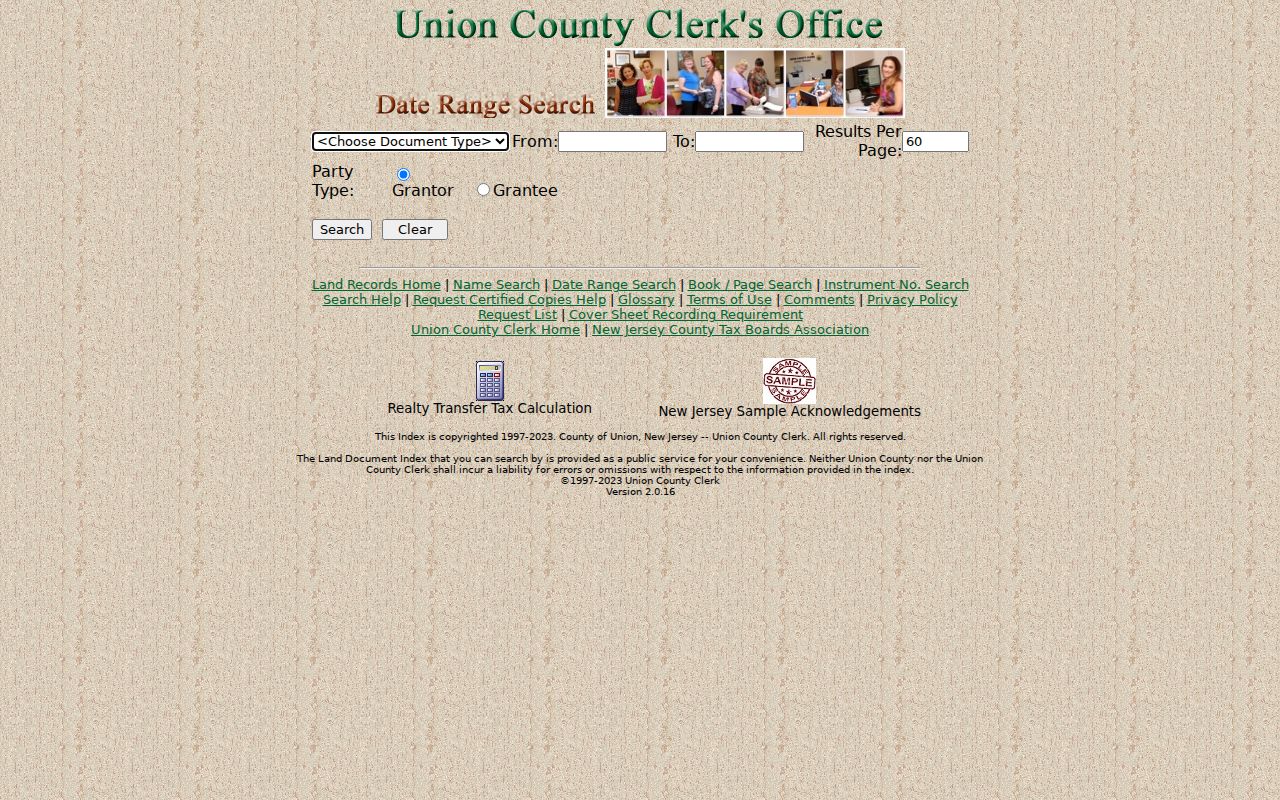
Date filtering can separate similarly named parties, but the legal description and document sequence still need to agree before a transfer is added to an address trail.
Tracing Westfield Previous Owners by Deed
A chain of title follows legal transfers backward. Start with the owner field or parcel reference shown by the Westfield assessor or property-information route, then locate that party's acquisition instrument in the County Clerk index. The seller on that instrument becomes the next person to search as a prior buyer. Check deeds alongside mortgages, releases, assignments, liens, notices of settlement, and other related instrument types, because the first matching deed is rarely the full parcel story.
- Record the modern address, block/lot, tax-map sheet, and legal description without normalizing away an older spelling.
- Search the current party as grantee or by the known recording date, book/page, or instrument number.
- Read the transfer details and identify the party who conveyed the property.
- Search that earlier party as grantee to locate the preceding acquisition, then compare the legal description.
- Repeat the dated sequence until the web index ends, then move to the Record Room, State Archives, or predecessor-jurisdiction route.
- Grantor
- The party transferring an interest in the recorded instrument.
- Grantee
- The party receiving that interest in the recorded instrument.
- Chain of title
- The dated succession of transfers tied to the same legal parcel.
- Legal description
- The parcel wording in the land record, often more stable than an address printed in a directory.
Open the Union County book and page search when a prior citation is known.
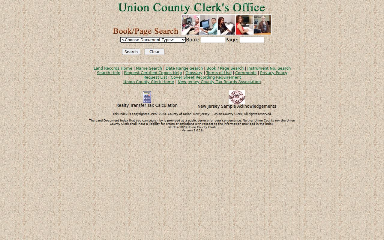
A book and page reference can jump past name variations, but it should still be compared with the parcel description and recording date.
Use the Union County instrument-number search when a deed, release, or notice provides that identifier.
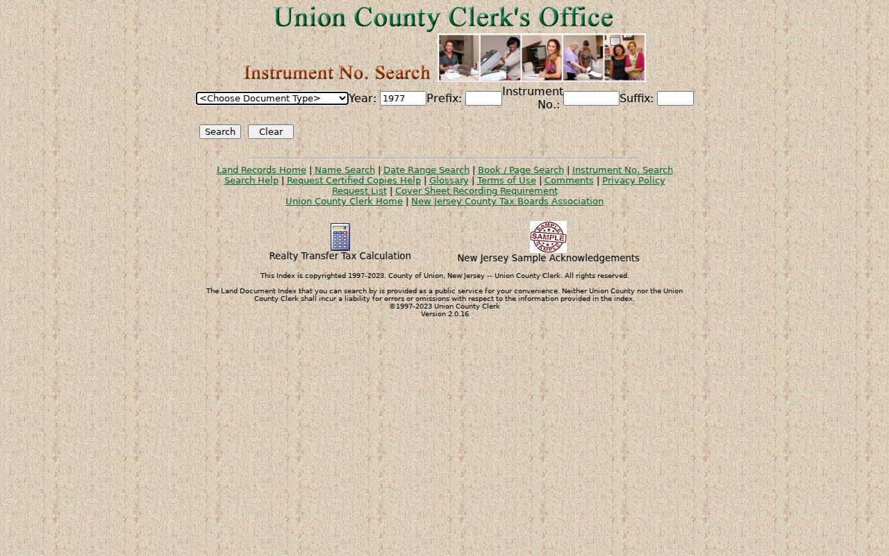
The instrument view is a precise route to one recorded item and helps retain a trail of related documents without relying only on a surname.
Westfield Records Before Union County
Union County formed from Essex County in 1857. Westfield's land and family history therefore extends beyond the county's creation, and a pre-1857 search may require Essex County or another predecessor jurisdiction. For events before Westfield's 1794 incorporation, also try the historical labels West Fields and Elizabeth Township with the family, church, cemetery, or property clue. A modern town name is useful, but it is not always the name a historic record uses.
The State Archives guide identifies Westfield Township tax ratables for 1781, 1796, and 1810-1822. It also points to county deed and surrogate microfilm through 1900, along with naturalization, census, tax, court, and vital pathways. A ratable can establish a taxed name and local context; it is not a complete household census. Pair it with a deed, probate item, church or cemetery record, newspaper, or later directory before connecting it to a particular address.
Consult the New Jersey State Archives genealogy collections for the older-record route.
The archives route is especially important when an online Westfield or Union County search stops at a date boundary or uses a later jurisdiction name.
Westfield Previous Residents on Sanborn Sheets
Sanborn maps add a building checkpoint to a past-address search. Princeton's official guide lists Westfield sheets for 1886, 1891, 1896, 1901, 1909, 1916, 1921, and 1928. The index or first sheet can identify the right street, and later sheets can show a footprint, construction material, use, outbuilding, and street layout. Those details can distinguish two similar addresses, but they cannot name every person who was there.
Westfield Memorial Library reports that the maps are available on library microfilm, even when an online image is restricted by copyright. Record the map year, sheet number, title block, street, and nearby landmark. A 1921 sheet, for example, can test whether a building existed and what it was used for between two directory years. If the footprint agrees but the number differs, investigate the address history before changing the identity of the parcel.
Note: Westfield research found no verified municipal street-renumbering schedule, so unexplained address changes should remain unresolved until maps, deeds, and directory sequences agree.
Westfield Previous Residents: Directories and Census
Land records name legal parties, while directories and census material add the household layer. The Westfield directory collection has an 1885-1982 headline range with gaps, and its street section can place a poorly numbered building by cross streets. Use the collection itself through the Westfield city directory route, then bring only the address, date, scan page, and spelling back into an address timeline. This keeps the historical shelf from being mistaken for a current record.
- Write the address exactly as each directory prints it, including any missing number or changed suffix.
- Use the street section to preserve cross streets and the nearby printed sequence.
- Pair the result with the closest practical federal or New Jersey census, keeping the enumeration date visible.
- Compare the printed household, map context, and deed period without merging a directory entry into a land transfer.
- Test a gap with the next available directory, a newspaper, cemetery, church, probate, or archive item.
Federal census research is available from 1840-1950 through the platforms identified by the State Archives. New Jersey state census years are 1855, 1865, 1875, which is incomplete, 1895, and 1915. Township geography can differ from present municipal boundaries, so record the census place exactly as it appears before deciding that two address references belong together.
Westfield Address Records Need Two Labels
A difficult address should be compared across the vocabulary of each record keeper. The assessor uses a situs or property location. A tax map uses block, lot, and sheet. A deed uses a legal description. A directory may offer a street number and cross streets, while a Sanborn sheet adds its own map location. Keeping those labels side by side is more reliable than forcing every source into one modern address line.
| Assessor situs | The property location used by the assessment record. |
|---|---|
| Block and lot | Parcel identifiers that link the tax map and property record. |
| Deed legal description | The land-record wording used to verify the parcel across transfers. |
| Directory street clue | The printed number, street sequence, and cross streets for that directory year. |
| Sanborn sheet | The map year and sheet that test building continuity and street geometry. |
This comparison is a useful Westfield quirk. The same parcel may carry several accurate labels without every label matching letter for letter. Preserve the source date and wording, then state a connection only when the map, legal description, and dated record trail support it.
Westfield Previous Residents and Lawful History
House history, family history, estate research, and local preservation work can use dated public material with care. Westfield's library and Historical Society access conditions matter because local documents, maps, photos, and archival material are often appointment-based or restricted to on-site use. When a record is missing, respect the gap. A missing name, redacted address, or restricted image is not a reason to reconstruct sensitive information from other sources.
Lawful use. Use Westfield address history for personal, family, estate, or preservation research. Never use an old address or name to contact, track, harass, or harm a living person.
Keep the final trail dated and sourced. Separate what the deed establishes from what a city directory, census, tax ratable, map, photograph, or obituary suggests. That discipline leaves room for later evidence and prevents a historical lead from becoming an unsupported claim about a person.