
Westfield Neighbors: Block Evidence
Public records can describe the physical block around a Westfield address, but they do not form a household roster. The best starting point is the municipal tax-map and parcel route, which converts an address to a block and lot. That parcel key can be compared with a county instrument and a historical street directory. Each source has a different claim: a map shows parcel geometry, an assessment record can show ownership or a mailing clue, a deed shows recorded parties, and a historical directory can place a household in a dated street sequence.
| Westfield block source | Evidence it supplies | Access channel |
|---|---|---|
| Tax map and street index | Street label, block, lot, map sheet, parcel dimensions | Official map PDFs and municipal map page |
| SDL municipal map | Parcel launch and listed property categories | Online entry point; exact tools not documented in research |
| NJ Property Explorer | Address, municipality, county, block and lot context | Statewide online property route |
| Union County Clerk index | Instrument party, date, type, and legal description | Online from 1977; Record Room back to 1857 |
| DigiFind-It street section | Dated occupants in printed street sequence and cross streets | Digitized scans and library access, with year gaps |
Westfield's public sources do not provide a complete list of household members, utility customers, motor-vehicle information, or a block-by-block voter roster. An owner mailing address and a parcel situs address also describe different things. Preserve both labels if the record returns them, and never turn either one into an unqualified claim about who lives there.
Westfield Neighbor Parcel Routes
The Westfield tax-map collection is the reliable address-to-parcel bridge. Map sheets organize street names, block and lot numbers, parcel outlines, and dimensions. The town's property information page points to assessment material and an external Spatial Data Logic application. The research did not expose its live parcel-card fields or exact map controls, so it would be inaccurate to promise a particular adjacent-parcel, buffer, or radius button.
Use the NJ Property Explorer as the state-level cross-check. It supports address, municipality, county, and block/lot routes, with annual assessment-list context. A transfer may appear in the Clerk's instruments before it appears on an annual list. That timing difference is a useful comparison, not proof that either source is wrong.
Westfield OPRA request information describes the municipal route for a defined records request.
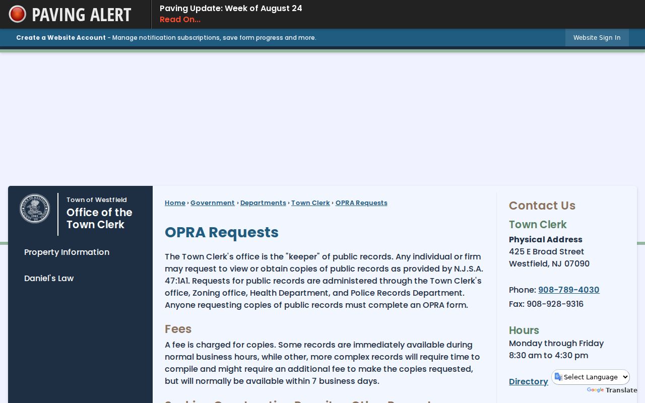
When listed property information does not answer a narrow records question, the Town Clerk's defined request route is the next channel.
Mapping Westfield Neighbors by Parcel
Work outward from a single street address without assuming the map has a public neighbor function. The process is a documented chain of identifiers. A parcel is a defined tract of land, while the situs address is its physical location. The legal description is the description used in a recorded instrument. Together, those items let a researcher compare nearby lots without treating a label on a screen as a statement about every person on the block.
- Find the address in the Westfield street index, tax map, or property route and record the block, lot, map sheet, and exact printed street form.
- Open the municipal map launch or NJ Property Explorer and compare the surrounding parcel geometry only where the source displays it.
- For each identified parcel, retain the source date and keep mailing address, situs address, owner field, and parcel location separate.
- Search the Union County Clerk land index with the party name or legal parcel description to identify instruments, then check their type and recording date.
- Use a library street directory or historic map for past block context rather than projecting a current record backward.
For a full named-street record chain, the Westfield street directory keeps the broader address workflow in one place. A neighbor search should remain focused on the immediate adjacent parcel evidence.
Westfield Neighbor GIS Limits
Westfield's municipal map launches the SDL system, but accessible research did not reveal the live layer names, map-click behavior, selection tools, buffers, measurement controls, or a non-sensitive parcel-card example. The map page supports property-history, tax-map, FEMA/NFHL, permit, and assessment categories, yet the visible control set still needs to be checked in the live map. Do not infer a missing parcel or neighbor relation from a feature the available screen does not document.
NJGIN parcel data is a useful statewide fallback for geometry and comparison. It is normalized to MOD-IV, but the state warns that parcels near county edges may not be edge-matched. NJGIN also warns that Daniel's Law redactions can remove some owner names from hosted parcel, tax, download, or map material. A blank field should remain blank, not be reconstructed from other sources.
Note: Record whether each map result came from a situs address, mailing address, parcel centroid, or a map position before comparing it to another source.
Westfield Neighborhood Council Contact
No public member roster or neighborhood-association directory was located in the reviewed Westfield sources. The available civic contact is the Westfield Neighborhood Council, a private nonprofit community resource. It is useful for program and local-context questions, but it should not be treated as a resident list or a source of household details. Historical neighborhood names such as Boulevard, Wychwood, Stoneleigh Park, Gardens, Prospect Street, and Terrace Park can help locate preservation material, but they are not legal subdivisions or present-resident categories.
Westfield Neighborhood Council
Private nonprofit civic resource
127 Cacciola Place
908-233-2772
Westfield Neighborhood Council
The Neighborhood Council's public information provides the verified contact and community role.
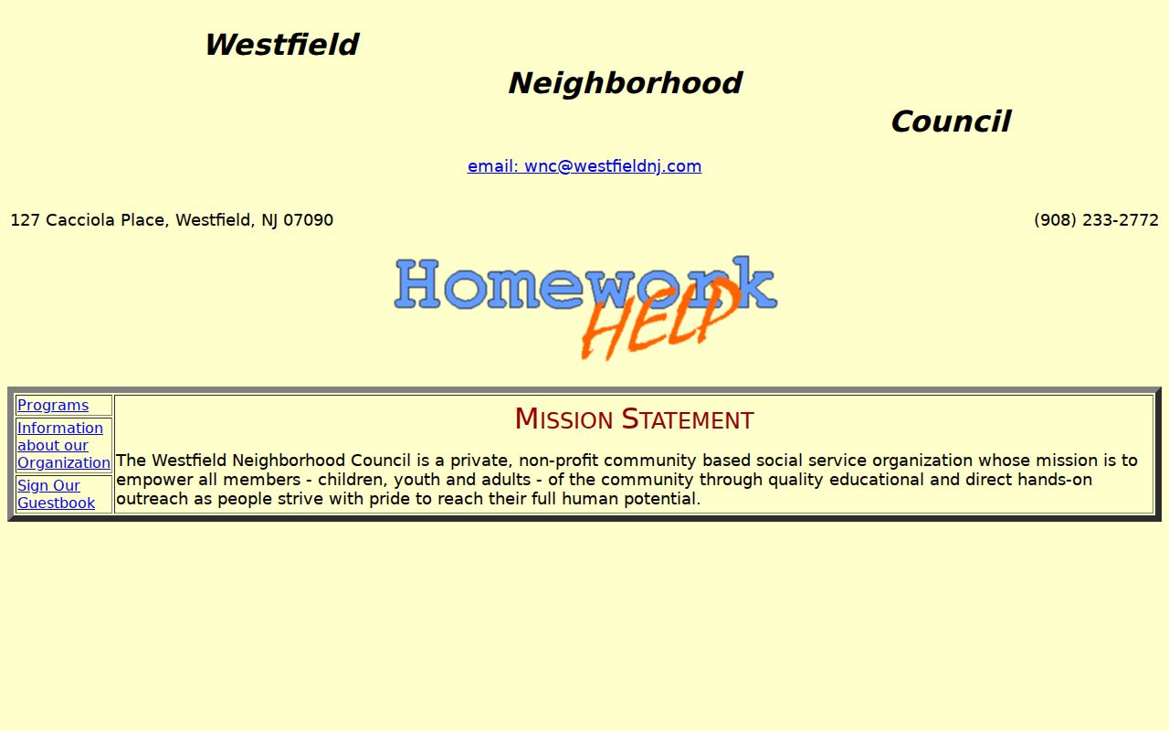
Contacting a civic organization is appropriate for public program information, not for requesting private participant information.
Westfield Neighbors and Voter Records
Voter information is not a block directory. New Jersey's official status route uses name, date-of-birth, and county or city matching concepts for an individual, and the live portal returned a 403 during the research inspection. Its complete display fields and bulk options were not confirmed. The status categories active, inactive, and cancelled have distinct meanings. Inactive status can follow returned election mail and does not prove that someone left an address.
The Union County Board of Elections accepts narrow requests for existing records through its OPRA process. A request should name the needed list or report, time period, delivery choice, and cost authorization. Sensitive and protected fields can be withheld or redacted. Aggregate registration statistics and the county's 2025 post-election audit are safer civic context than attempting to assemble a list of individuals around a Westfield block.
Union County Board of Elections contacts identify the proper records office for a narrowly described request.
Use the Board's contact route to ask about existing records and their access limits before submitting a request.
Westfield Neighbor Tool Comparison
Official records and commercial compilation tools answer different questions. Official sources identify a document, a parcel, or a defined status under the custodian's rules. Commercial tools combine records from varied dates and can be incomplete, stale, or incorrectly matched. Neither category proves current occupancy. A careful Westfield neighbors search starts with the source that created the record and preserves the record date.
| Source category | Strength | Limit for neighbor research |
|---|---|---|
| Official parcel and land records | Dated parcel or instrument connection | Owner, party, and occupant are different roles |
| Official voter or civic records | Defined status or public program context | Not a block roster; protected fields and redactions apply |
| Commercial compiled records | May suggest a lead to verify | Variable dates, matching quality, and source transparency |
For a historical comparison, a dated Westfield directory street section can be stronger than a modern compilation because it states the publication year and street sequence. It still needs a second source before it is treated as a settled identity match.
Westfield Parcel Fraud Alert
Union County's property-fraud alert is a practical comparison point for someone monitoring a parcel connection. The County Clerk describes it as a free program that can send email, text, or voice alerts when a document is recorded under a registered name. It allows names and common misspellings, and can cover property held in an individual's, business, or trust name. The service is an early warning, not a way to block a recording or prove that a document is valid.
Union County's property-fraud alert enrollment shows the official subscription route.
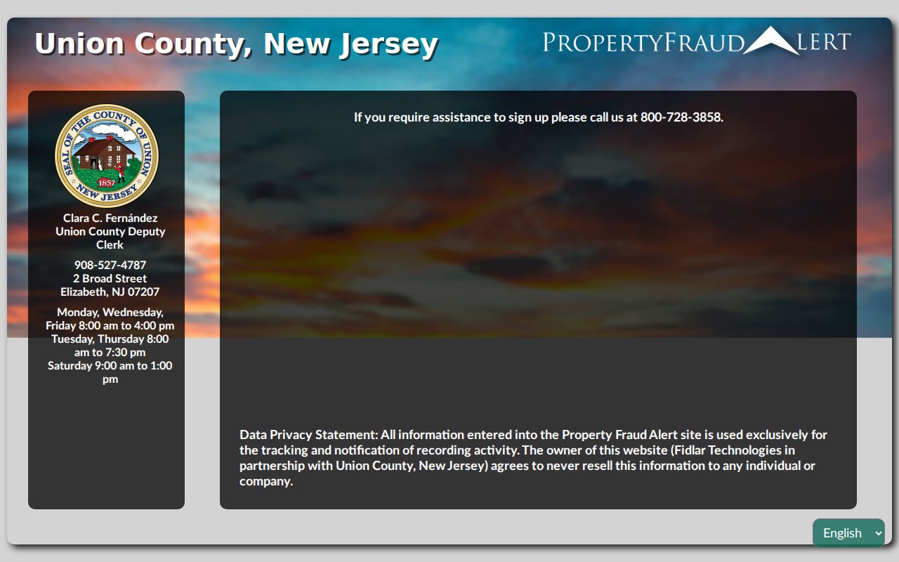
If an alert arrives, compare the instrument with the Clerk's record and contact the Clerk, local police, or Prosecutor as appropriate.
This service reflects a useful Westfield block-research quirk: an instrument can involve a lender, trustee, or other nonresident party, so the document type should be read before a name is connected to a parcel.
Westfield Neighbor Privacy
New Jersey protects several kinds of address and identifying information. Daniel's Law applies to eligible judges, law-enforcement officers, prosecutors, and qualifying immediate family members. The Address Confidentiality Program provides a substitute mailing route for eligible participants. OPRA can also require redaction of protected addresses, dates of birth, driver-license data, unlisted telephone numbers, and other personal information. A source that omits a name or address may be working as intended.
A deed party is not necessarily a resident, an assessment owner is not necessarily an occupant, and a historic directory entry is not a current address. Preserve those distinctions. If the desired information is not public, contact the record custodian about the lawful access route instead of searching around a redaction.