
Trace a Westfield Street Directory Address
Start the Westfield address search with the street, not a presumed household. First establish the parcel and its block and lot. Then compare the owner or mailing label with deed parties and the legal description. A historic street entry can add a dated household placement. These records answer different questions, so agreement among them carries more weight than one promising hit.
Municipal maps, assessor records, the county deed index, and library collections form a practical address chain. Keep the source date beside every result. A current assessment can lag a transfer, while a printed directory reports only the year of that volume.
- Use the Westfield street index and municipal maps to confirm spelling, cross streets, and the tax-map sheet.
- Check the Westfield Tax Assessor or municipal property route for the parcel and its block/lot context.
- Cross-check the address with NJ Property Explorer, keeping location, owner, and assessment-year labels separate.
- Search the Union County Clerk land index using a documented party name, date, instrument, or book/page reference.
- For past households, compare dated street listings and cross streets. The library runs are described in the Westfield city directories.
Note: A parcel owner, a mailing addressee, and an occupant can be different people, so each label needs its own source and date.
Westfield Street Directory Parcel Keys
The Westfield Assessor maintains parcel-centered information for more than 10,000 properties, including ownership, mailing address, location, year built, land size, and structure characteristics. The office is at 425 East Broad Street and lists 908-789-4055. These are assessment and parcel clues, not a complete list of people at a street address.
The Town's Property Information route lists building permits, FEMA/NFHL information, last sale price, net assessed value, and property class as immediate categories. Detailed history leads to Spatial Data Logic, known as SDL. The municipal material reviewed did not expose SDL's live search controls or a complete parcel-card schema, so an unverified control or result should not be assumed.
The Westfield Property Information page is the municipal start for the parcel process.
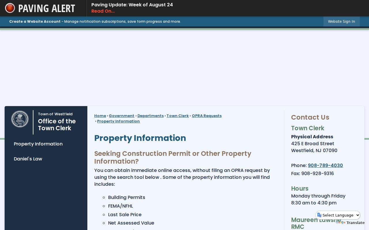
Use the listed categories as a checklist, then retain the access date and parcel identifier with any observation.
Check Westfield Property Records
NJ Property Explorer offers a statewide way to compare a Westfield parcel after the local map has supplied the address or block/lot. The state documents search dimensions for address, county, municipality, and block/lot. Its described data includes location/owner, annual assessed land and building values, prior-year taxes, and property class. The annual list is filed in January, so a later transfer may not appear in that cycle.
| Property Explorer field | Field type | Westfield use | Documented result context |
|---|---|---|---|
| Address | Address search dimension | Begin with the printed street address | Location and owner context |
| County | Geographic search dimension | Select Union County | Annual assessment-list context |
| Municipality | Geographic search dimension | Use Westfield with the county | Property class and assessment data |
| Block/Lot | Parcel search dimension | Use identifiers from the tax map | Block/lot, land, and building assessment data |
The NJ Property Explorer capture shows the state resource used to corroborate a Westfield parcel.
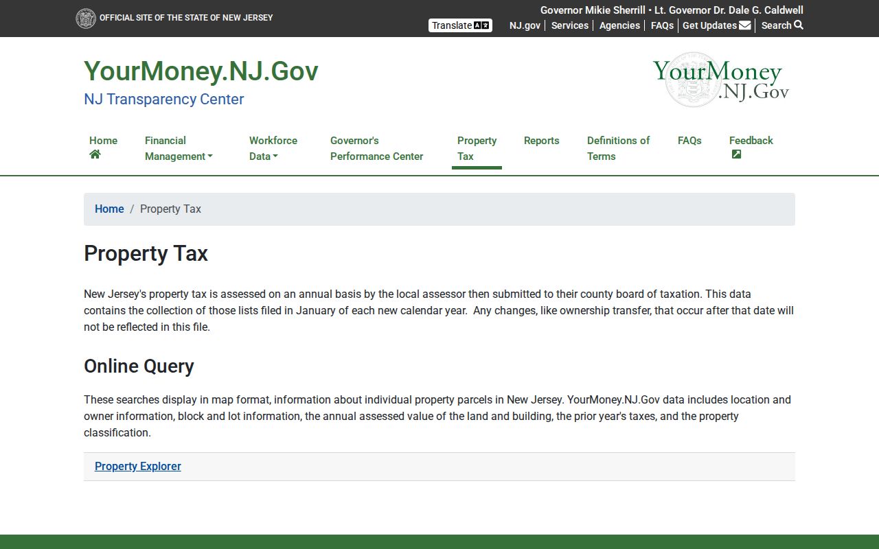
A mismatch between a recent deed and an annual assessment list can be a timing issue rather than a failed address match.
Westfield Address Record Coverage
Address-keyed Westfield sources overlap, but they do not mean the same thing. A tax map ties the street to a parcel. An assessor record describes a tax parcel. A deed index identifies parties to an instrument. A historic street section may place a named household in sequence along the road. Use the source that directly supports the fact being considered.
| Westfield address record | Keeper | What it can establish | Access route |
|---|---|---|---|
| Tax map and street index | Town of Westfield | Street labels, block/lot, map sheet, parcel dimensions | Tax maps and municipal maps |
| Assessment/property record | Westfield Assessor | Ownership, mailing and situs labels, year built, land and structure details | Assessor, property page, SDL route |
| Normalized parcel data | NJGIN | Statewide parcel geometry and MOD-IV aligned context | NJGIN parcel data |
| Land instrument index | Union County Clerk | Grantor/grantee, document type, recording reference, legal-description trail | Online index, Record Room, copy route |
| Historic street listing | Westfield Memorial Library | Dated names in street order and cross-street context | Digitized volumes, Local History Room, microfilm |
The chain is strongest when street, map sheet, block/lot, and deed description are compared without changing one into another.
Map a Westfield Street Address
Westfield's official maps include street-index, ward, zoning, topographic, sewer, tax, and interactive-map resources. For an address search, the tax sheet gives a durable parcel frame. A sample municipal sheet shows street names, block/lot labels, dimensions, and condominium context. Record the sheet number so another researcher can repeat the observation.
The Westfield tax-map collection is the direct source for that parcel frame.
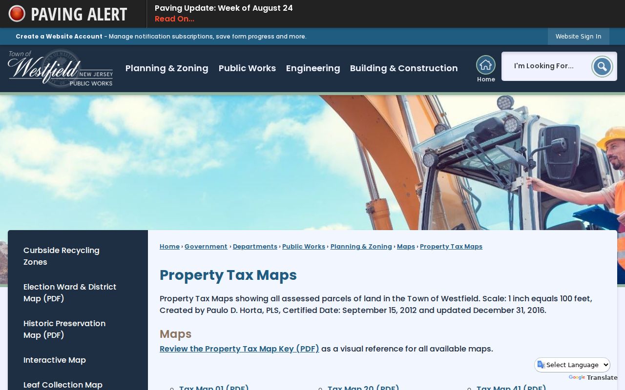
A tax map can locate a parcel, but it cannot establish everyone connected to that parcel.
Westfield's Interactive Map launches the SDL map route. The live embedded material did not verify adjacent-parcel, radius, select, or measure controls. Treat it as parcel context and do not describe controls that have not been observed.
The Westfield SDL parcel portal is the municipal map destination recorded in the capture.
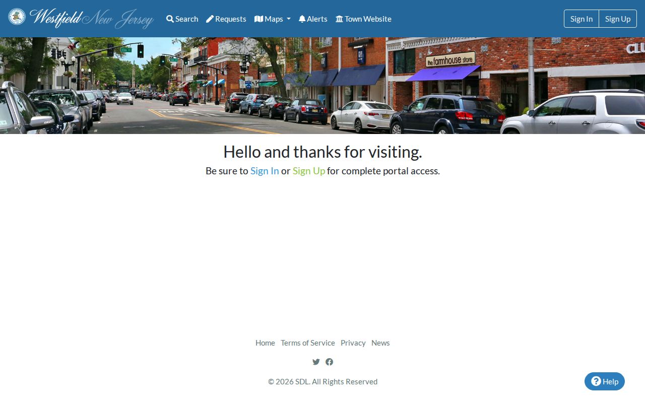
Pair any map observation with its tax-map sheet and access date, especially when a historical address has a different printed form.
Follow a Westfield Deed Trail
The Union County Clerk land index is the legal-instrument layer for a Westfield parcel. Its public online index begins June 1, 1977. The public Record Room holds county land transactions from 1857 to the present, so the online date is not the beginning of the collection. The portal has Name, Date Range, Book/Page, and Instrument Number searches.
A name search may be narrowed by date, party type, and document type. Search grantor, grantee, or both when the known name and parcel date justify it. The index covers deeds, mortgages, releases, assignments, liens, foreclosures, and notices. An index row is a lead, not the full instrument. When an image is unavailable or viewing requires sign-in, use the Record Room or the Clerk's copy route. Published certified deed-copy fees are $8 for the first page and $2 for each additional page, subject to confirmation at the time of request.
Compare the Union County Clerk land-record index result to block/lot and the legal description before associating it with a Westfield address.
The NJGIN parcel-data resource supplies the statewide context shown here.
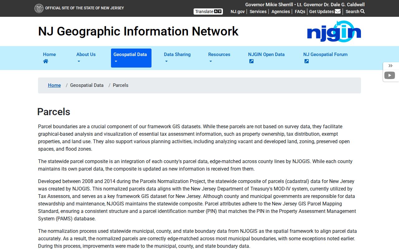
The pictured NJGIN source is a statewide parcel fallback, not a substitute for the Clerk's legal-description check.
Use Westfield Parcel Fallbacks
NJGIN parcel data is aligned with MOD-IV and can help compare a Westfield parcel with statewide normalized geometry. The state cautions that county-edge parcels may not be edge matched. Its hosted parcel, tax, and map applications can also show Daniel's Law redactions. A missing owner name is therefore not evidence that the parcel lacks an owner record.
Keep owner mailing address and parcel situs as separate fields. A map shape, property owner, or deed party is not a complete current-residence statement. That distinction matters most when several records use different labels for the same physical parcel.
Read Westfield Historic Street Entries
The Westfield Memorial Library digitized directory shelf is a street tool as well as a name tool. Its collection headline covers 1885 through 1982, but the browse list has gaps. Cite the exact available volume, rather than assuming every year exists. If a scan is missing, the Local History Room, microfilm, and Historical Society provide a fallback route; on-site materials remain there unless staff approve otherwise.
The 1944 directory is useful when the alphabetical section lacks a full number. Its street section can place an unnumbered or poorly numbered building by cross streets and show names in sequence. That sequence can bridge a difficult address to a tax map or deed, yet it is still a dated printed observation.
Note: Directory entries can be abbreviated, stale, or inaccurate, so retain the volume year and page before relying on a historical street match.
Reconcile a Westfield Address
No verified town-wide street-renumbering or street-renaming schedule was found in the Westfield sources reviewed. An apparent number change is not proof that the parcel or household changed. Preserve original capitalization, direction, unit text, and suffix from the dated source. Create a modern normalized form only when a tax map, assessor record, or deed supports it.
Use a three-part bridge: the historic street entry and cross streets, a tax-map or Sanborn footprint with block/lot, and the assessor parcel or deed legal description. Sanborn maps can show a building footprint and use, but they cannot prove who occupied a building. The historic-preservation survey adds context without replacing a dated address record.
- Parcel
- A defined piece of land used in mapping and assessment, often identified by block and lot.
- Situs address
- The street location associated with a parcel, which can differ from an owner's mailing address.
- Tax-map sheet
- The numbered municipal map page that places block, lot, street labels, and parcel shape in context.
- Criss-cross directory
- A directory arranged by street or address rather than only by alphabetical name.
Westfield Library Street Records
Westfield Memorial Library is the local fallback when a directory scan, map, or a needed year is not available online. Its Local History Room holds local histories, microfilm, directory material, and Sanborn maps. Materials stay on site unless staff approve otherwise, so prepare a narrow request before reserving time. A surname, street, approximate year, and known cross street help staff identify the right volume or reel.
The library's digital collections include directories, newspapers, documents, yearbooks, publications, audio, and external-map links. The Westfield Historical Society archives add resident papers, maps, photographs, organizations, newspapers, and architectural drawings through its own access procedure. Neither collection converts an address into proof of current occupancy. They provide dated local context that must be checked against the original scan, map, deed, or assessment record.
For an older building, Princeton's Westfield Sanborn guide lists maps for 1886, 1891, 1896, 1901, 1909, 1916, 1921, and 1928. Some map access is restricted online by copyright, while the library reports that all Westfield maps are available on microfilm. Record the map year, sheet number, title block, street, and nearby landmarks with every observation.
Westfield Street Research Limits
Street-based research cannot establish a complete current household. The accessible public sources do not supply a complete list of household members, utility customers, or motor-vehicle address holders by street. Assessment ownership is not the same as occupancy, and a historic directory entry is not proof that a person remains at an address.
Daniel's Law can remove protected owner names from the parcel resources. New Jersey's Address Confidentiality Program also supplies a substitute address for eligible participants. If a source redacts an address or name, leave it redacted and do not combine other records to reconstruct it.
Lawful use. Use Westfield street records for personal, lawful research and civic or family-history questions. Do not use a record to stalk, harass, intimidate, or harm any person.
Note: A dated source, a clear record label, and independent confirmation are minimum safeguards before relying on an address match.